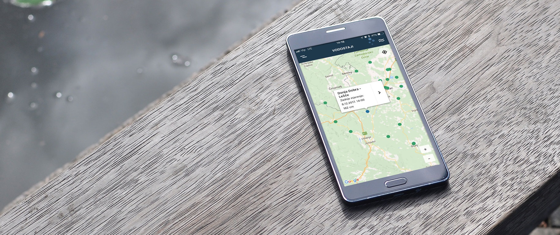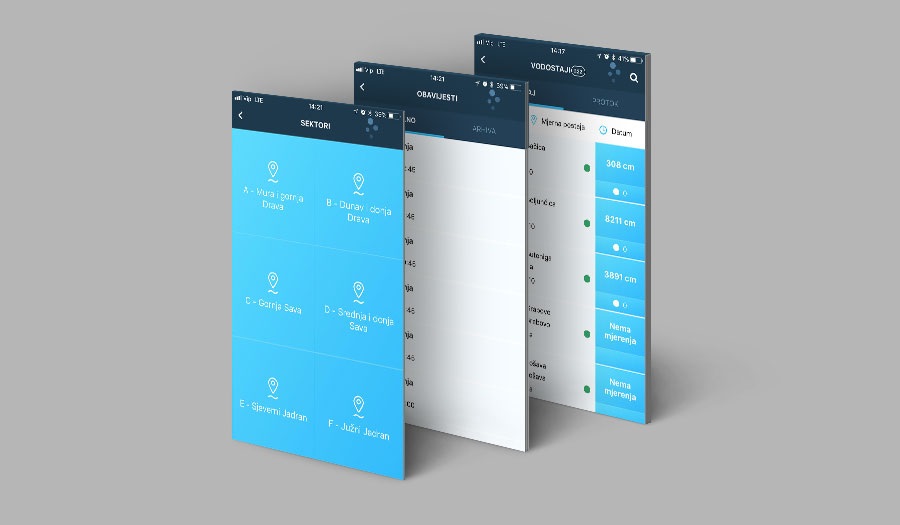
Perpetuum has developed a mobile app that monitors river water levels in Croatia. The Vodostaji ("water levels" in Croatian) app warns of potential dangers of high water levels, enables more efficient preparations and flood response management and the organization of better emergency interventions when needed.
There are also more cheerful uses for the system - for a wide range of users such as fishermen, hikers and recreationists. Fishermen, for instance, use the app to know when is the best time to head out to the river bank with their fishing buddies and enjoy a calm day in the peaceful Croatian countryside.
Design and develop a mobile application that quickly, efficiently and timely informs users about changes in the water level of Croatian rivers. Furthermore, through the app, provide the user with the option of selecting the specific monitoring stations they would like to track, receiving notifications about the conditions, detailed insight into water levels and flows in time intervals, and a graphic display of water level movements.
Croatia has had an Information System for collecting and monitoring hydrological data in real time for years, with some 500 or so monitoring stations. It has primarily been intended for water level monitoring, but also for collecting other hydrological (water level, flow, water temperature) and meteorological (precipitation amount, air temperature, snow depth) measurements. Measurements are collected in real time by automatic notification from measuring stations and stored in the database for further processing, generation of reports and graphic displays according to the needs of end users. The system was, for many years, only available to accredited professional users from within the Croatian Waters public utility organization.
Some years ago, Perpetuum completed a project to open up some of the important data to the general public via the websites www.voda.hr and vodostaji.voda.hr. Given that there was a need to provide users with a simple overview via mobile devices, while at the same time being able to choose which stations they are interested in and receive notifications in the event of an increase in the water level, a decision was made to implement native mobile apps for Android and iOS. This is especially interesting for people who live in areas that can be affected by floods, but also for fishermen and others who are interested in the state of the water level.

The user interface of the application was made entirely in vector graphics, for which the Sketch user interface creation tool was used, with refinements in Adobe Photoshop.
For the backend platform, the service for water levels, the service for user preferences, sending and saving PUSH notifications and Firebase's Google service - Firebase Cloud Messaging were used. Built on the DOT.NET platform, the water level service serves as a central point of distribution of data on water level height, flow and other information related to the stations. At the same time, the service for user preferences, created in PHP/Laravel, remembers the stations that the user follows and on the basis of which he receives notifications, as well as all notifications and user settings. Firebase Cloud Messaging is Google's service for sending PUSH notifications.
For the mobile apps, we decided on the React Native platform developed by Facebook, which is used to create native mobile applications written in JavaScript. The mentioned framework is not used to produce web or hybrid mobile applications, but rather native applications. This approach is increasingly popular in the development of mobile applications, and we used it also because the development time is greatly reduced due to the possibility of reusing the programming code for the iOS and Android platforms. Big players such as Facebook, AirBnB, Tesla and Skype have also used React Native to create mobile applications.