From the Nile in Africa to the British Thames, from the Yangtze River to the Sava, Kupa and Dobra rivers in Croatia – high technology helps national and regional agencies and teams around the world manage vital resources – water, rivers and lakes. There is no continent, country or region where high technology is not used in some form.
High Technology - The Future of Large Water Systems Management
In this blog post, we will briefly look at the most important technologies in the function of water management, and in the posts after that, we will focus in more detail on individual technologies and examples of their use in Croatia, the region and the world.
This topic is important to us since both Perpetuum, as well as the GDi Group as a whole, are very actively involved in the development of digital solutions for the management of water systems for users such as Croatian Waters, but also other institutions and organizations at the local or national level in the markets where these companies are present.
The management of large river systems today faces unprecedented challenges: accelerated climate change, growing needs for water resources and ecosystem degradation require innovative approaches. High technology is becoming a key ally in efforts to sustainably, efficiently and predictively manage rivers, lakes and associated infrastructure such as embankments or dams.
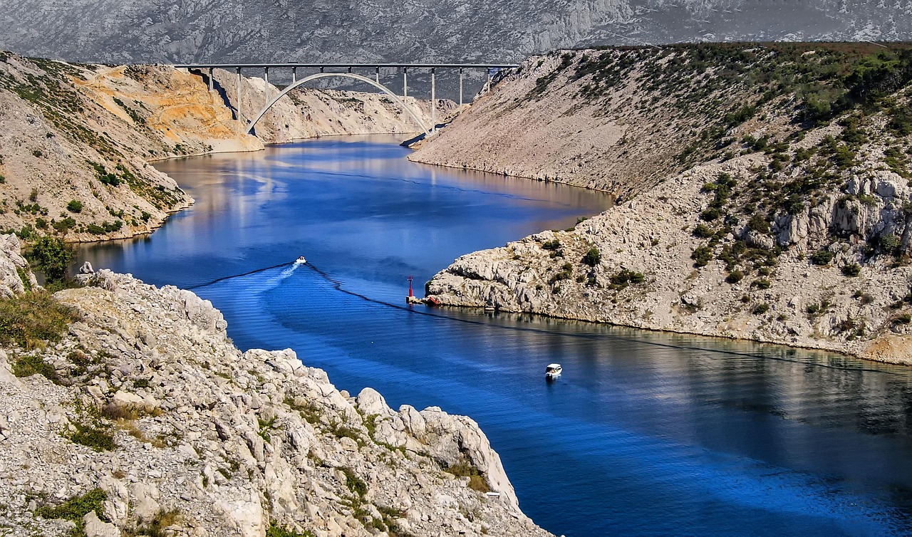
1Nil - Photo DEZALB / Pixabay
Measurement from a distance and drones: view from space and air
Satellites such as SWOT, Landsat, and Sentinel-2 make it possible to monitor water systems and resources across the planet on a daily basis. With the help of optical and radar sensors, scientists can monitor water levels, riverbed width, changes in sedimentation and water qualitative characteristics.
The drones, equipped with LiDAR, multispectral cameras and echo probes, make it possible to create high-precision three-dimensional models of riverbeds and banks. This technology is crucial for detecting erosion, planning coastal restoration, and monitoring the impacts of climate change.
Internet of Things (IoT) and Smart Sensors: Ever-Present Supervisors
IoT sensors in rivers continuously monitor key indicators: water level and velocity, temperature, pH values, solute concentration, and the presence of algae. Such systems enable early warning of floods, timely response to pollution and optimization of the use of water resources.
Examples such as Thames Water in London and monitoring systems in the Danube Basin show how IoT sensors dramatically improve the monitoring and maintenance of river systems.

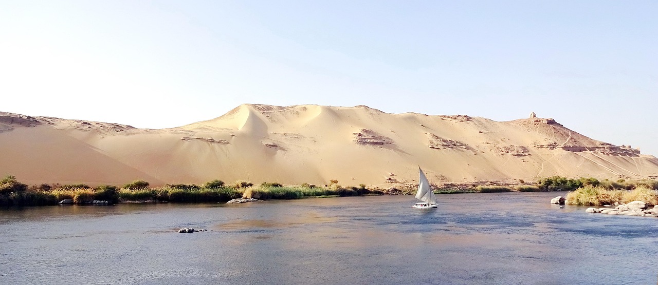
2 Thames – Photo by Steve Bidmead / Pixabay
Artificial intelligence: predicting the future of rivers
AI and machine learning make it possible to analyze vast amounts of data collected from various sources. Algorithms such as neural networks (LSTM, GRU) and methods such as Random Forest successfully predict floods, droughts and changes in river flows.
On the Rhine, Nile, and Colorado River Basin, AI applications have enabled faster and more accurate forecasts, improving community preparedness and optimizing water distribution.
Geographic Information Systems (GIS): Understanding Space
GIS tools enable the consolidation of data on river systems into spatial maps and analyses. Through GIS, we can visualize flood risks, analyze land-use changes, identify sources of pollution, and support informed decision-making.
Projects such as the global survey "Basins at Risk" use GIS to analyze potential conflicts, as well as international cooperation, related to water resources at the international level, while applications such as ESRI's Arc Hydro help in the day-to-day management of river basins.
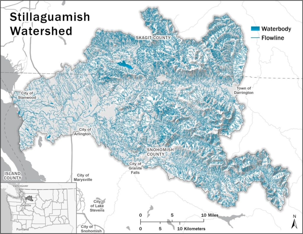
3 Stillaguamish River Basin in Washington State
Digital Twins: Virtual Reality for Better Decisions
Digital twins of rivers - virtual models that are constantly updated with real data - make it possible to simulate different scenarios: from floods to dry periods. By integrating with IoT sensors and AI, these models help predict and respond to changes in a timely manner.
Examples such as the Yangtze in China and Delaware in the US show how digital twins are taking river management to a new level. 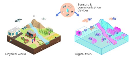
Illustration: CGIAR Initiative on Digital Innovation
Cloud Infrastructure and Big Data Analytics
Cloud computing enables the centralized collection, processing and sharing of data among different stakeholders. This speeds up decision-making, improves transparency and allows for more sustainable planning of resource use.
Examples such as water supply management in the Panama Canal or the H2NOW Chicago system clearly show the benefits of using big data analytics and cloud platforms in real time.
Conclusion: technology as a guarantor of future sustainability
High technology enables a holistic, informed and predictive approach to river management. The integration of satellites, drones, IoT sensors, artificial intelligence, GIS, and digital twins is leading to more efficient, safe, and sustainable management of our most important natural resources. At a time when the waters are under increasing pressure, these innovations are not a luxury – but a necessity for the future of humanity and nature.